

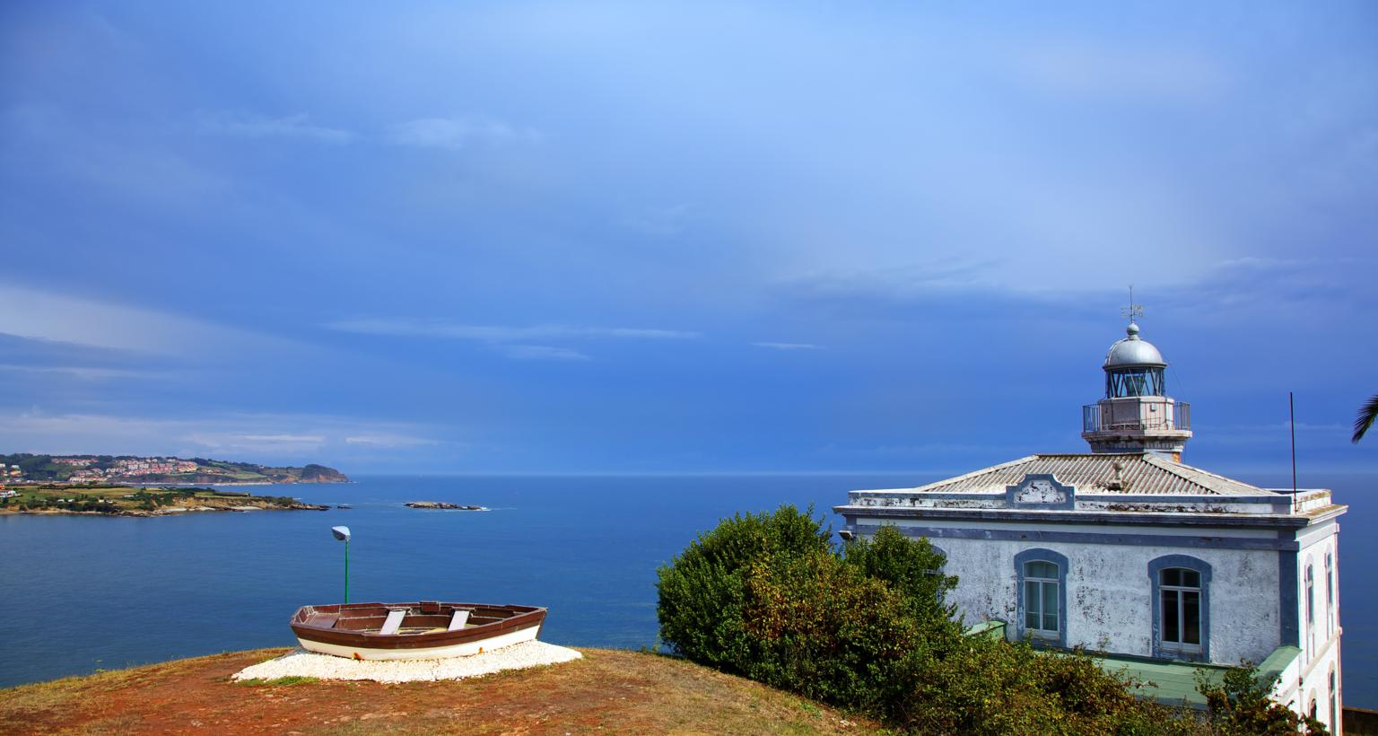
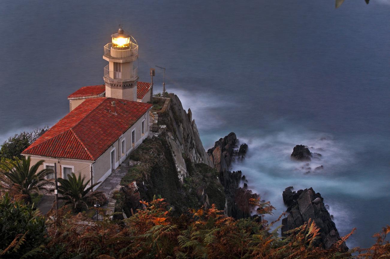
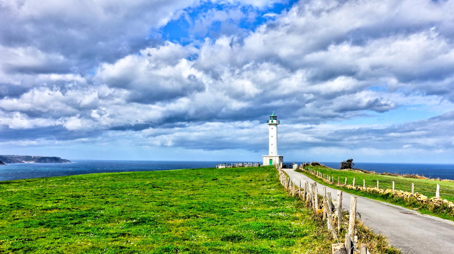
Faros de Asturias / Asturias lighthouses


FARO DE VIAVÉLEZ
El Cantábrico preside la costa asturiana, que tiene 345 kilómetros de litoral y más de 200 playas. Es la costa verde española, la que conjuga agua y naturaleza, arenales con zonas rocosas. En Asturias se dan la mano los acantilados y las dunas, las playas de arena fina, las pequeñas calas y los paisajes protegidos. En la imagen, el Faro de Viavélez, en el concejo de El Franco.
VIAVÉLEZ LIGHTHOUSE
The Cantabrian Sea presides over the entire Asturian coast which boasts a 345-kilometer long shoreline with more than 200 beaches. This green Spanish coast blends water and nature, as well as sandy and rocky areas. In Asturias, cliffs and dunes, fine-grained sand beaches, small coves, and the protected landscape go hand in hand. The picture shows Viavélez lighthouse in El Franco municipality.
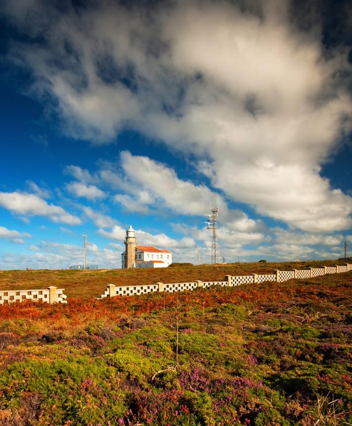
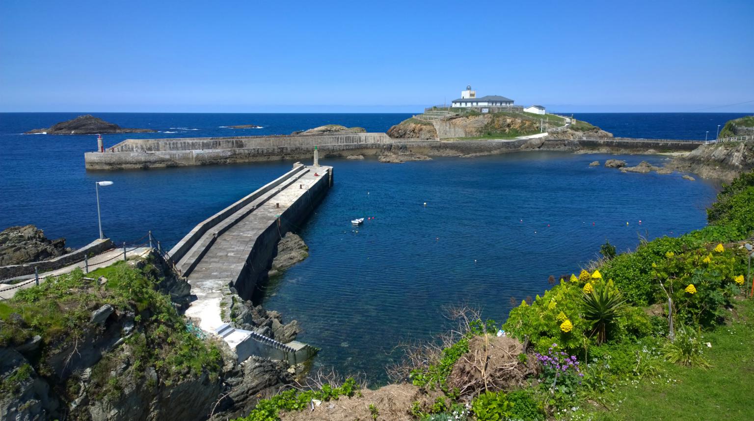
FARO DE CABO PEÑAS
El faro de Cabo Peñas está situado en el concejo de Gozón, a 117 metros sobre el nivel del mar, a 21 metros sobre el terreno y a 60 metros del acantilado en un edificio de planta cuadrada con tres alturas. Comenzó a funcionar en 1852, se electrificó en 1946 y en 1951 se le instaló una sirena que fue sustituida en 1977. El faro tiene un alcance de 35 millas marinas y cuenta con tres balizas giratorias que se usan para detectar los barcos y la velocidad del viento. Actualmente alberga el Museo del Medio Marino de Peñas en la planta baja del edificio. Este faro, el más importante de Asturias, es el que ilustra la portada de tourist Asturias 2018.
CABO PEÑAS LIGHTHOUSE
The lighthouse of Cabo Peñas is located in the council of Gozón, a 117 metres above sea level, to 21 metres on the ground already 60 metres of the cliff in a building of square plant with three heights. It began to operate in 1852, it was electrified in 1946 and in 1951 a siren was installed that was replaced in 1977. The lighthouse has a range of 35 nautical miles and three rotating buoys used to detect ships and wind speed. At the moment it hosts the Museum of Marine Environment of Peñas in the ground floor of the building. This lighthouse, the most important in Asturias, is the one that illustrates the cover of the tourist Asturias 2018.
FARO DE CANDÁS
El Faro de Candás se encuentra en el Cabo de San Antonio, en la Punta del Cuerno, en el concejo de Carreño, en un enclave privilegiado que en el siglo XVIII fue usado para la defensa de la costa y del puerto de los ataques ingleses. Comenzó a funcionar en 1917 en su ubicación actual por la imposibilidad de construir una casa para el farero en su emplazamiento anterior, en la Peña de los Angeles, no existía posibilidad de construir una casa para el farero. Se encuentra en un edificio rectangular de dos alturas al borde del acantilado, con torre troncopiramidal adosada a la cara norte del edificio y a una altura sobre el nivel del mar de 40 metros y de 12 sobre el terreno. Tiene un alcance de 15 millas marinas.
CANDÁS LIGHTHOUSE
The Candás Lighthouse is located in Cabo de San Antonio, at Punta del Cuerno, in the council of Carreño, in a privileged enclave that in the XVIII century was used to defend the coast and the port against English attacks. It began to operate in 1917 in its current location due to the impossibility of building a house for the lighthouse keeper in its previous location, in Peña de los Ángeles. It is located in a rectangular two-floored building at the edge of the cliff, with a pyramidal tower attached to the north side of the building and at 40 metres above sea level and 12 metres on the ground. It has a range of 15 nautical miles.
FARO DE CUDILLERO
El Faro de Cudillero se encuentra en la Punta Roballera, en el margen oriental de la entrada del puerto. Comenzó a funcionar el 1 de agosto de 1858 sustituyendo a un rudimentario sistema de señalización marítima que empleaban las mujeres de los pescadores encendiendo fogatas que advertían de la proximidad de la Costa Pixueta. Era de reducidas dimensiones en sus inicios y ha sufrido numerosas remodelaciones. Usaba aceite de oliva como combustible y posteriormente comenzó a utilizar petróleo hasta que fue electrificado en 1930. En 1921 se amplió pero fue en 1984 cuando se remodeló más profundamente. Su alcance es de 25 millas.
CUDILLERO LIGHTHOUSE
The Cudillero Lighthouse is located at Punta Roballera, on the eastern margin of the port entrance. It began operating on 1 August, 1858, replacing a rudimentary maritime signalling system used by fishermen's women lighting fires that warned of the proximity of Costa Pixueta. It had small dimensions in its beginnings and has undergone numerous renovations. It used olive oil as fuel and later began using petroleum until it was electrified in 1930. In 1921 it was extended but in 1984 it was deeply reshaped. It has a range of 25 miles.
FARO DE LUCES
El faro de Luces, o de Lastres, se encuentra en el municipio de Luces, en la parroquia de Lastres, dentro del concejo de Colunga. El faro se levanta en un amplio terreno de 1.200 metros cuadrados, en un edificio de mampostería de planta cuadrada. Comenzó a funcionar en el año 1994, lo que le convierte en el último faro construido en Asturias. Se levanta sobre una torre cilíndrica blanca a 117 metros de altitud sobre el nivel del mar y 15 metros sobre el terreno. Desde el año 2001 cuenta con una nueva óptica para lograr 5 destellos blancos cada 25 segundos.
LUCES LIGHTHOUSE
The lighthouse of Luces, or Lastres, is located in the town of Luces, in the parish of Lastres, within the council of Colunga. The lighthouse is built on a large plot of 1,200 square metres in a square masonry building. It became operational in 1994, making it the most recent lighthouse built in Asturias. It stands on a cylindrical white tower 117 metres above sea level and 15 metres above the ground. Since 2001 it has had a new optical system that allows it to emit 5 white flashes every 25 seconds.
FARO DE TAPIA DE CASARIEGO
Con una altura de 24 metros sobre el nivel del mar y un alcance nominal nocturno de 18 millas náuticas, el Faro de Tapia de Casariego fue inaugurado el 1 de septiembre de 1859 en la Isla de Tapia, unida a tierra por un espigón de 100 metros de longitud. El faro más occidental del Principado de Asturias originalmente constaba de un edificio de planta cuadrada de una sola altura desarrollado alrededor de un patio central y la torre estaba adosada a la cara norte del edificio con dos cuerpos. En 1922 y 1962 sufrió sendas ampliaciones y en 1944 fue electrificado.
TAPIA DE CASARIEGO LIGHTHOUSE
With a height of 24 metres above sea level and a nominal night range of 18 nautical miles, the Tapia de Casariego Lighthouse was inaugurated on 1 September, 1859 on the Island of Tapia, joined to the shore by a hundred metres long jetty. The most western lighthouse of the Principality of Asturias originally consisted of a square building with a single floor developed around a central courtyard and the tower was attached to the north side of the building with two bodies. In 1922 and 1962 it underwent enlargements and in 1944 it was electrified.


